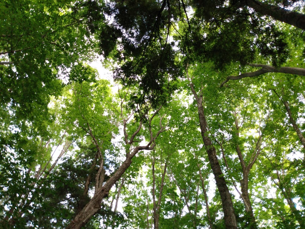
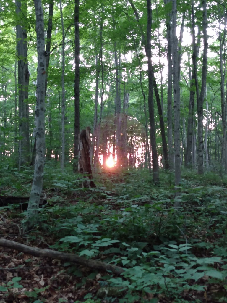
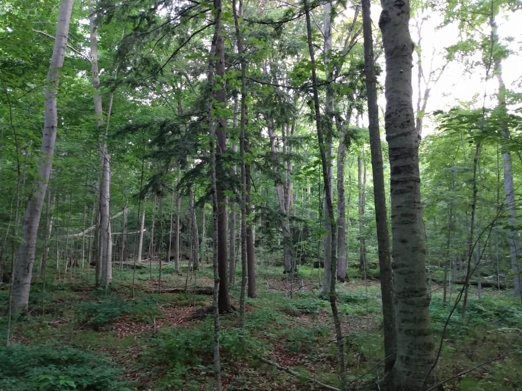
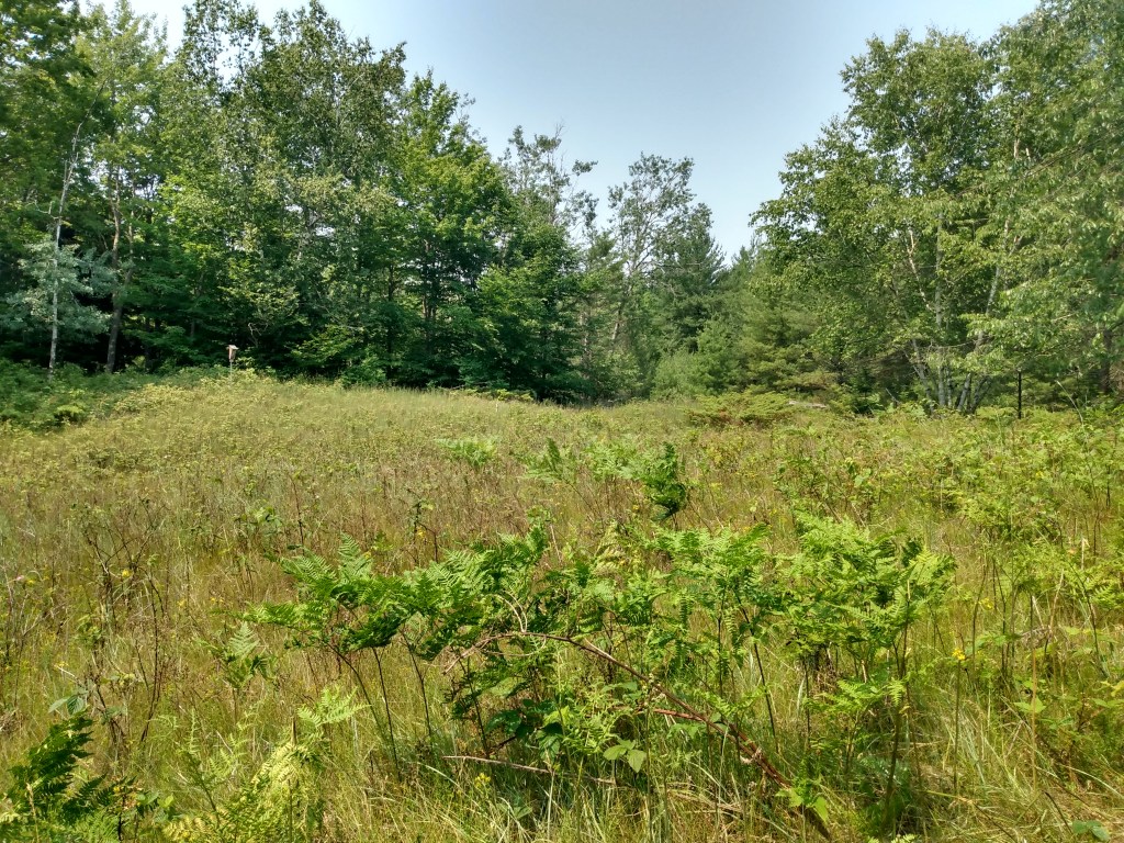
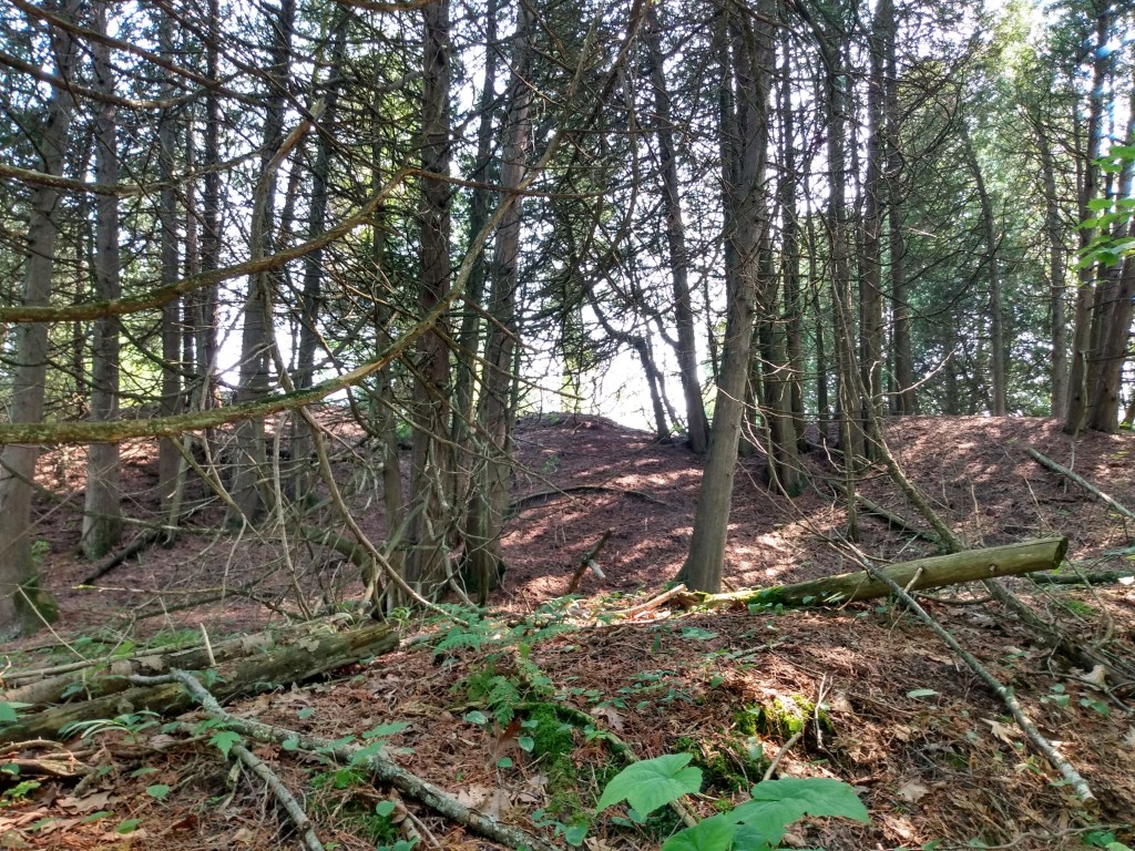
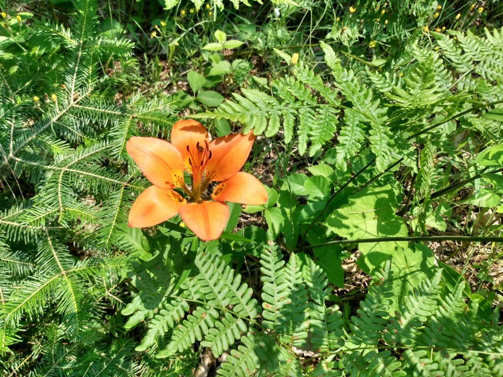
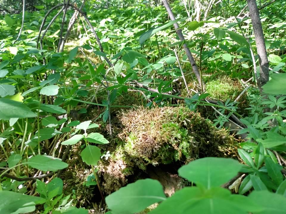
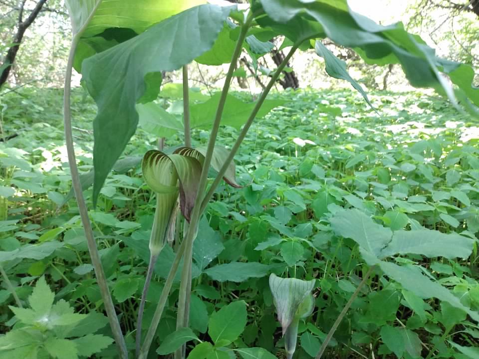
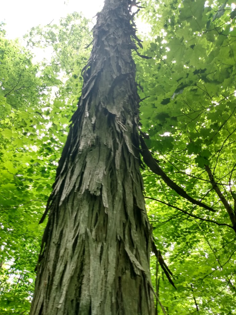
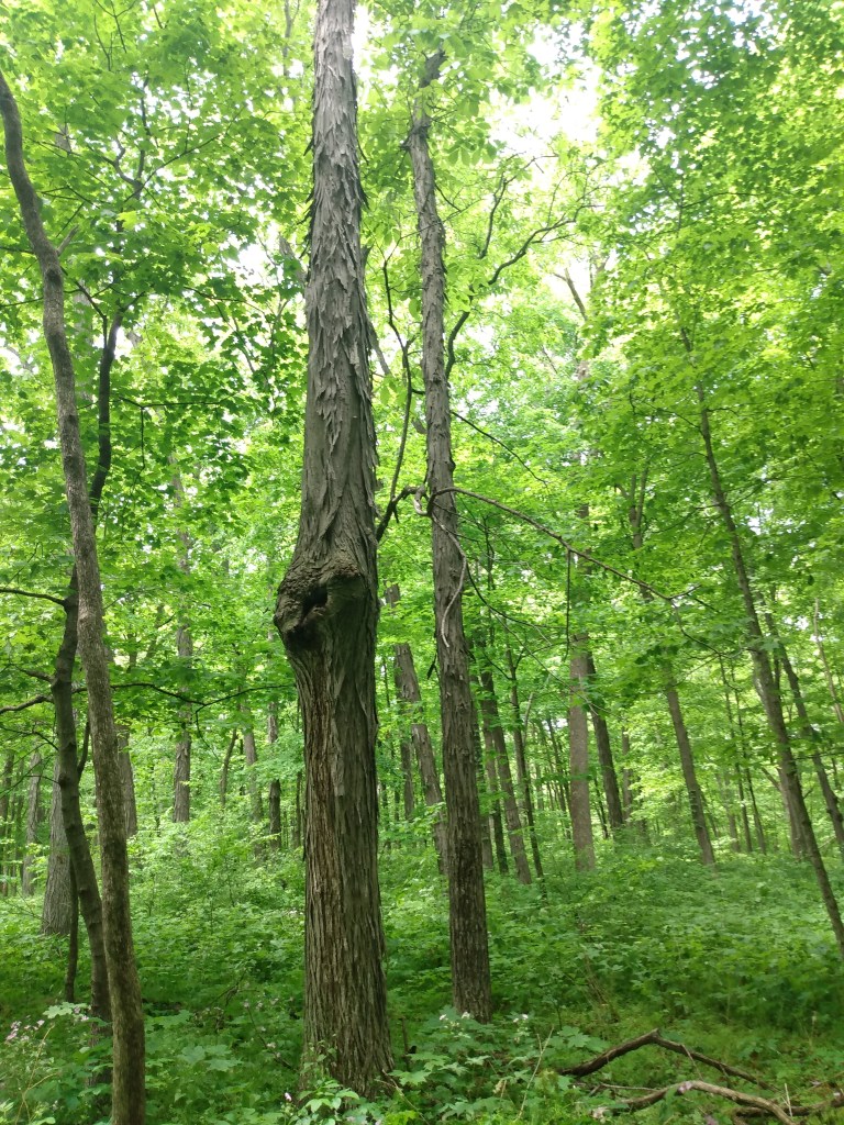
logan creek sna lies on the northern side of clark lake and is dominated by a northern wet-mesic forest. a small prairie buffers the parking lot from the woods.
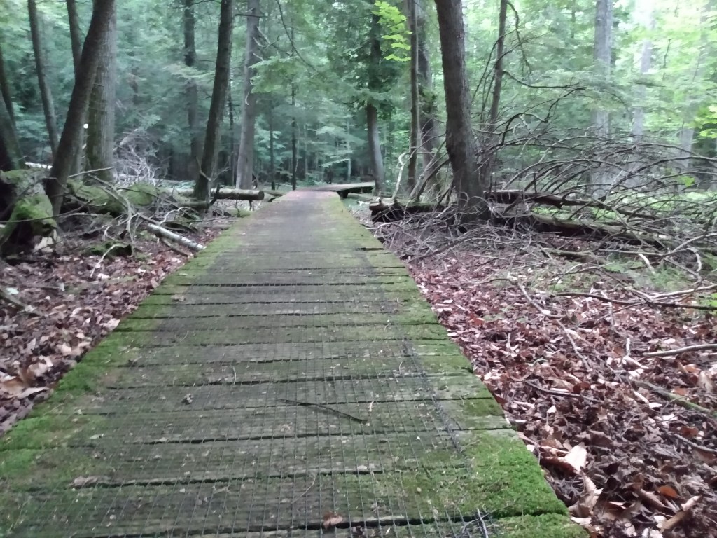
we had a fun time running thru the beeches and hemlocks, cedars and birches. critters mammalian, amphibian, and reptilian darting off the path ahead of us left and right. one of the board walks was out, and we were losing daylight, so we weren’t able to see the lake, but hopefully we’ll be back some day.
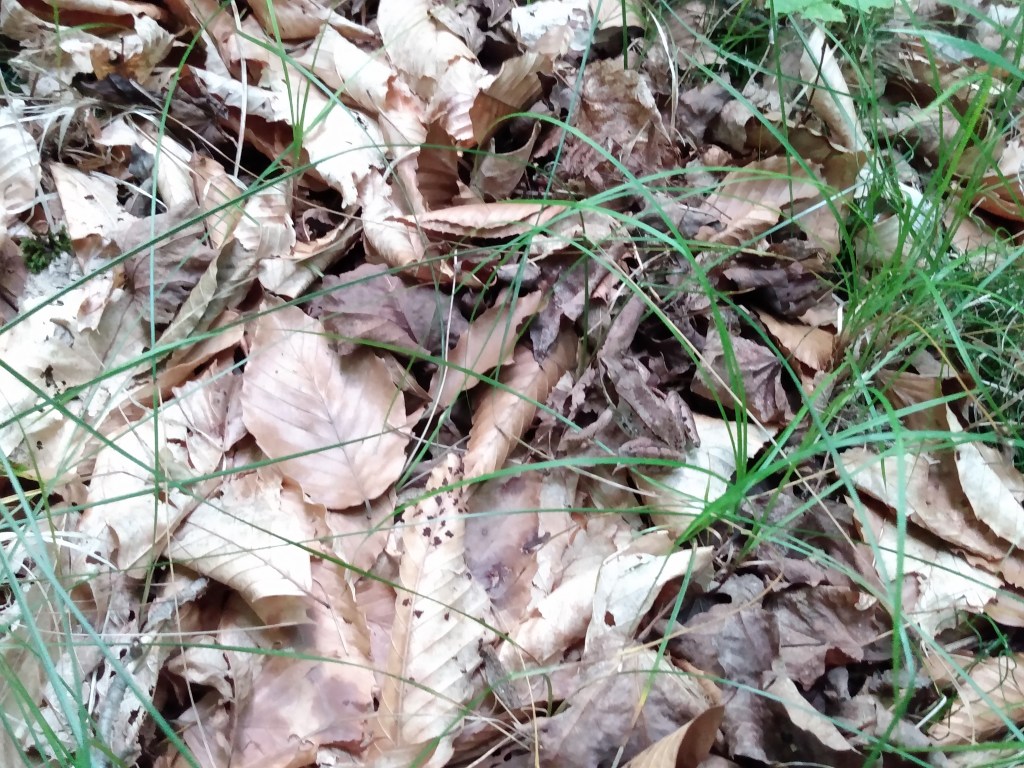
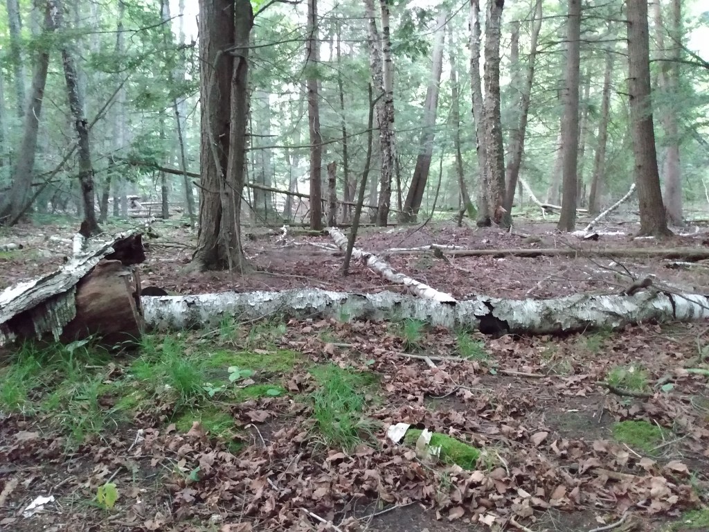
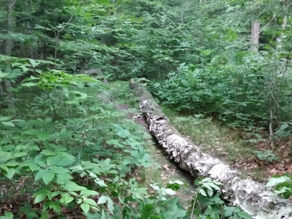
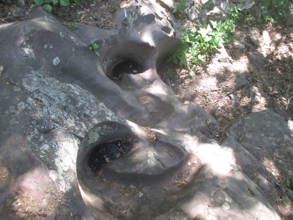
if you made it this far: here’s a good reminder to keep your wits about you. this birch fell completely along the trail. if someone had been on that bench, they’d have had quite a view of the fall…
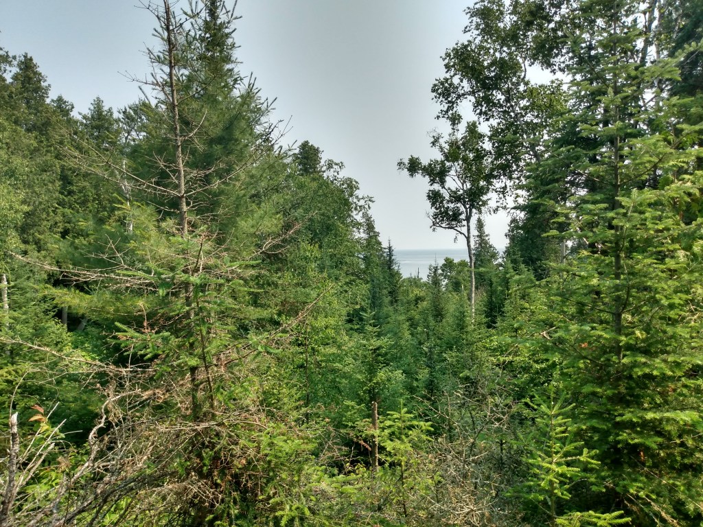
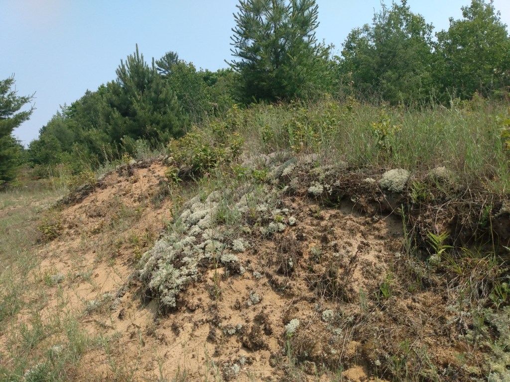
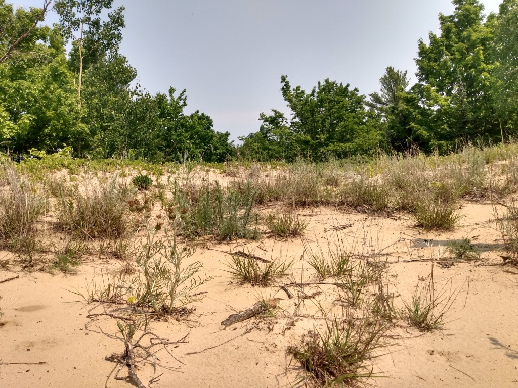
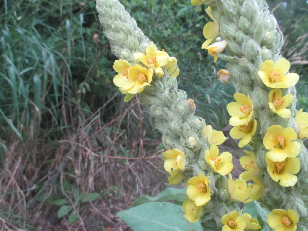
it was a hot one. i visited whitefish bay dunes—what the wdnr calls “the largest and most significant Great Lakes dunescape in Wisconsin”—when it was in the mid-90s. tough going but very focused, and not many other folks on the trails. the dunes range from open beach right on the lake to heavy forest a couple dunes back.
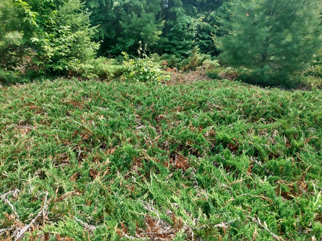
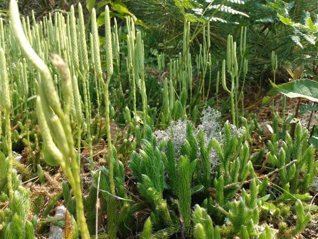
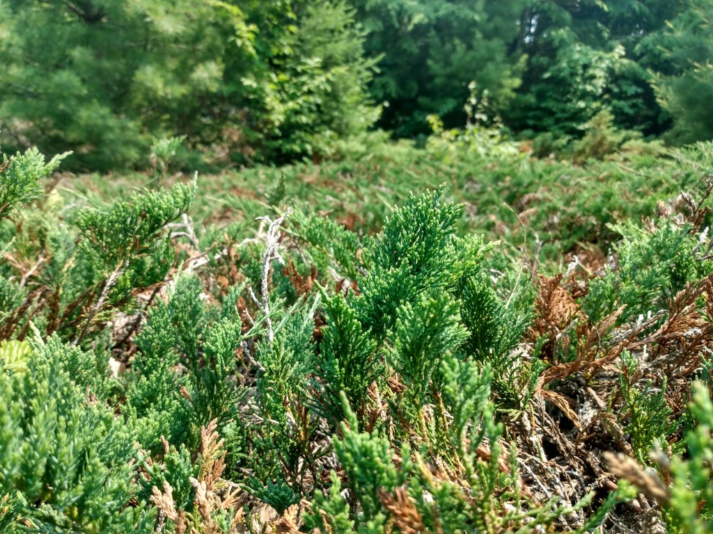
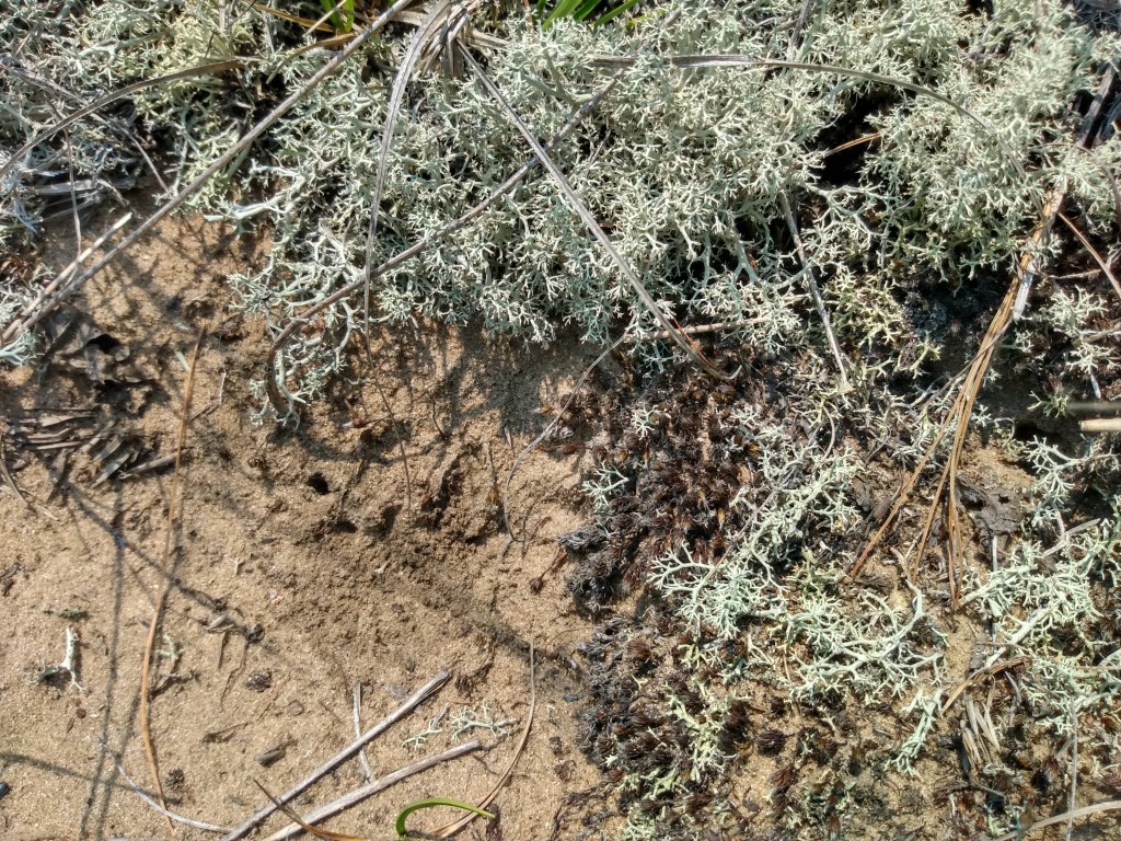
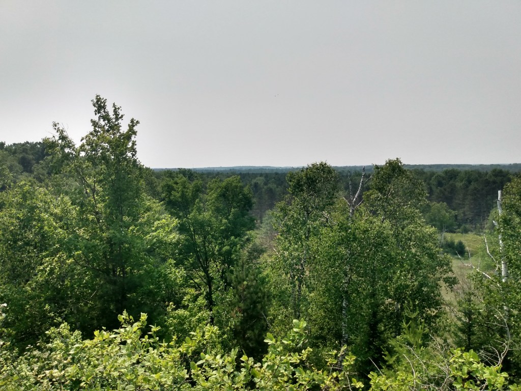
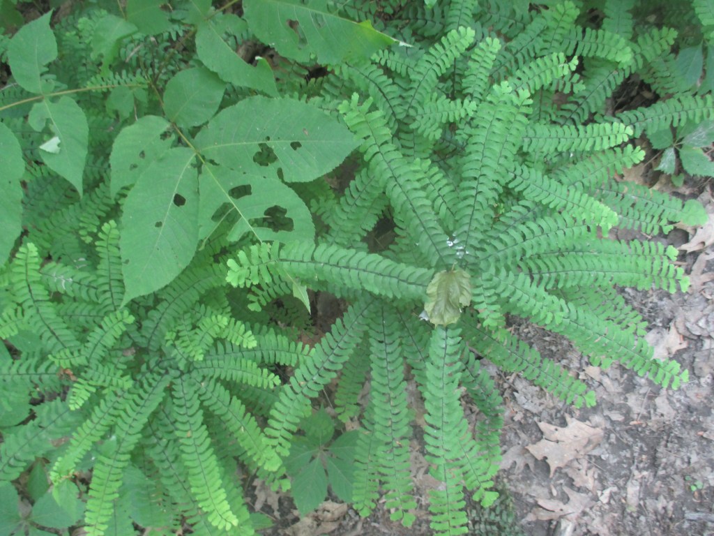
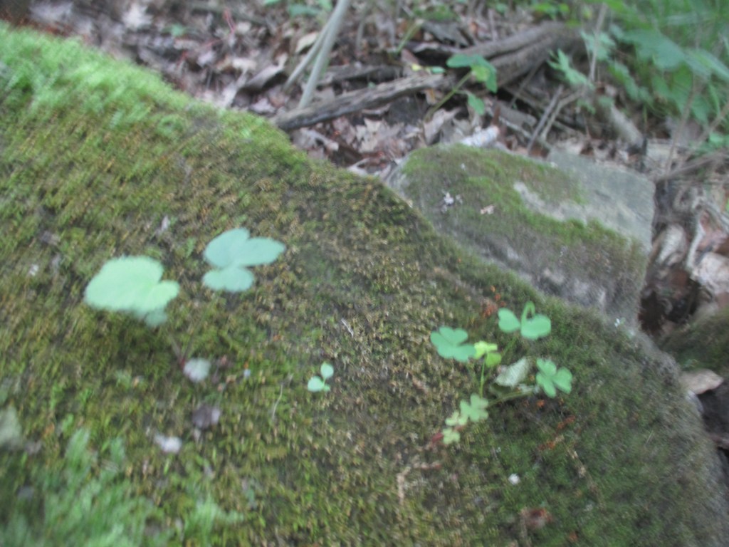
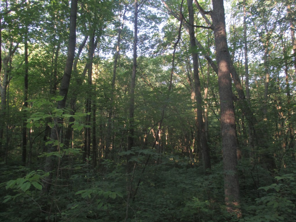
i took the northern trail to “old baldy” (the highest dune in wisconsin at 93 ft above lake level), which came out of northern mesic forest into open glades of juniper and fern, not to mention all sorts of small, ground-hugging plants i hadn’t the slightest clue on. very unique habitat inhabited by very unique flora. after climbing up baldy i took the southern trail back, which lulls thru a forest of balsam fir, white cedar, and birch on the backside of the fore dune—very fragrant and pleasant despite the heat, especially along the hollows.
(by the way, i love that the wdnr uses the word “dunescape.”)
a.
thimble berry thick
on the midday sunning earth
dune asks nothing
b.
porcupines are there somewhere
behind aspen stumps
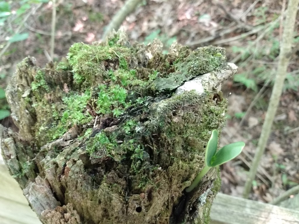
and miniature fountains of moss
c.
juniper and fern
are friends
in the dune-glen
d.
solitude here on tallest dune
as aspens crest-quake
no one else so foolish in the heat
e.
words are bountiful
but no smell of balsam fir
touch of outcropping
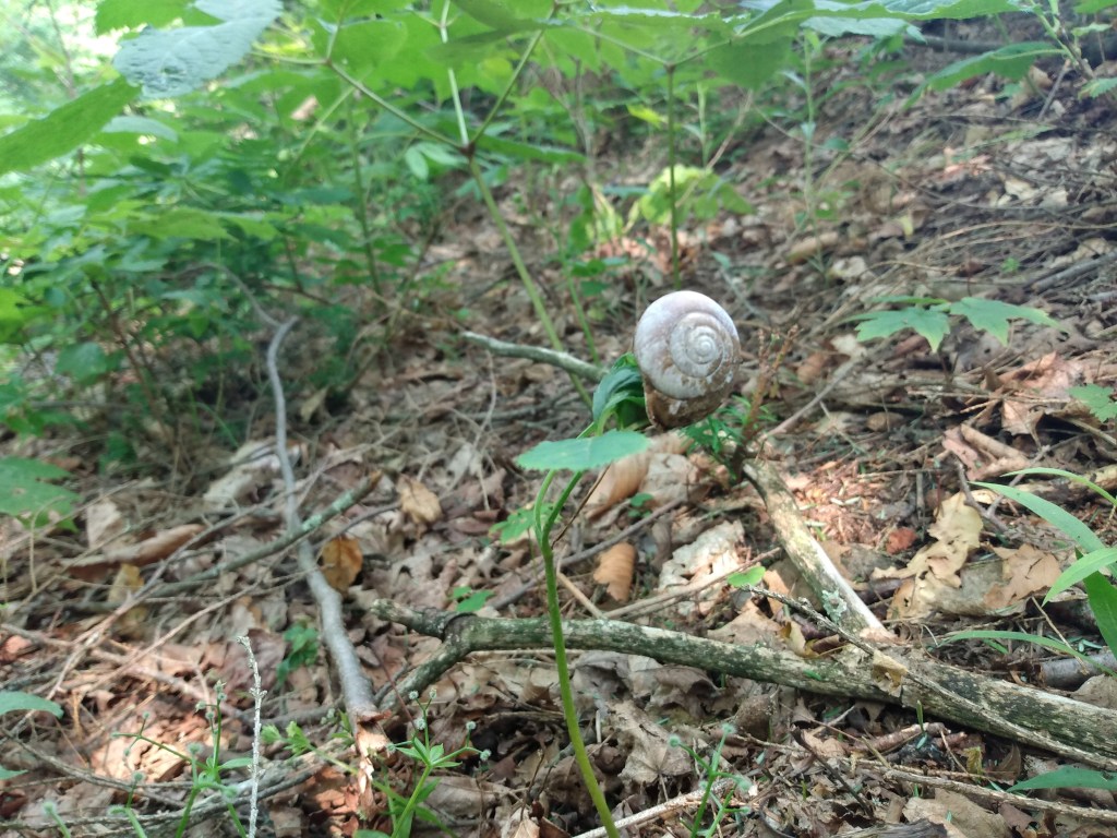
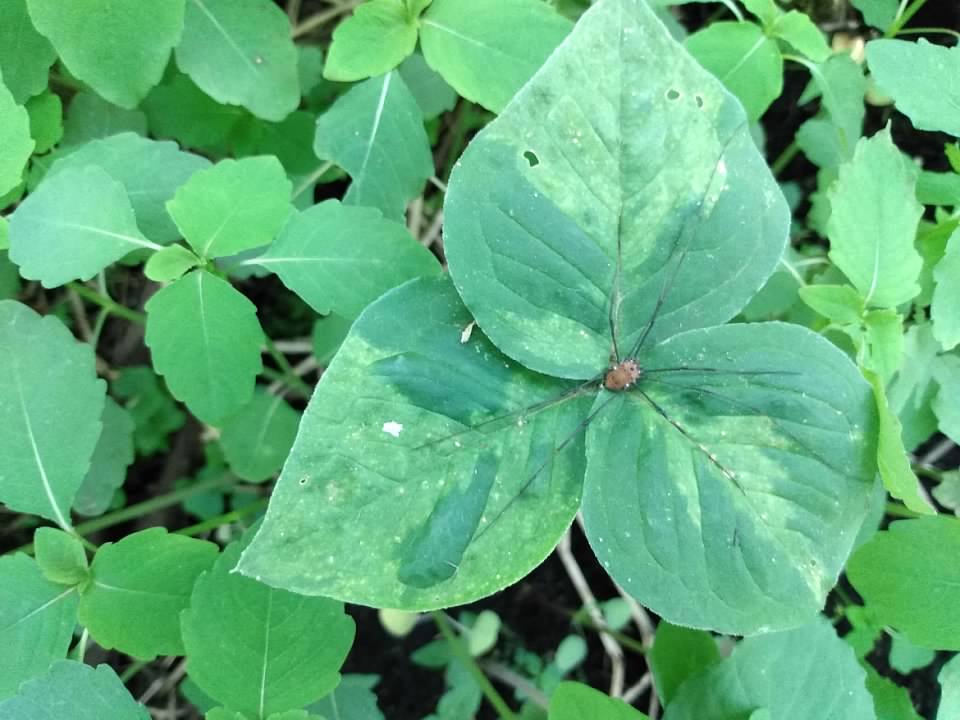
if you got this far: look at this snail doing her balancing act on top of a small forb (about six inches tall at most). it was eery and delightful.
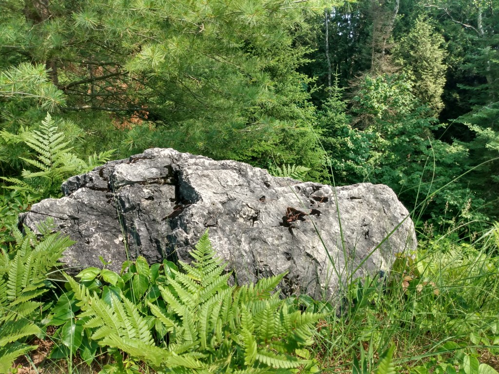
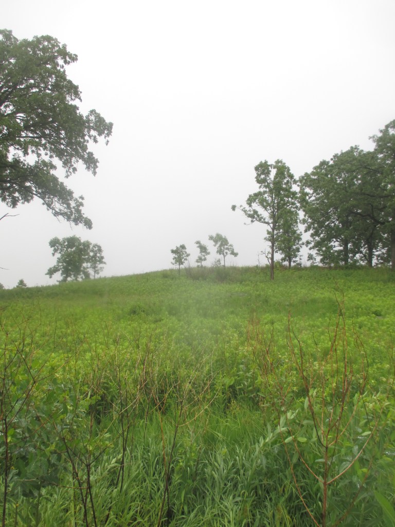
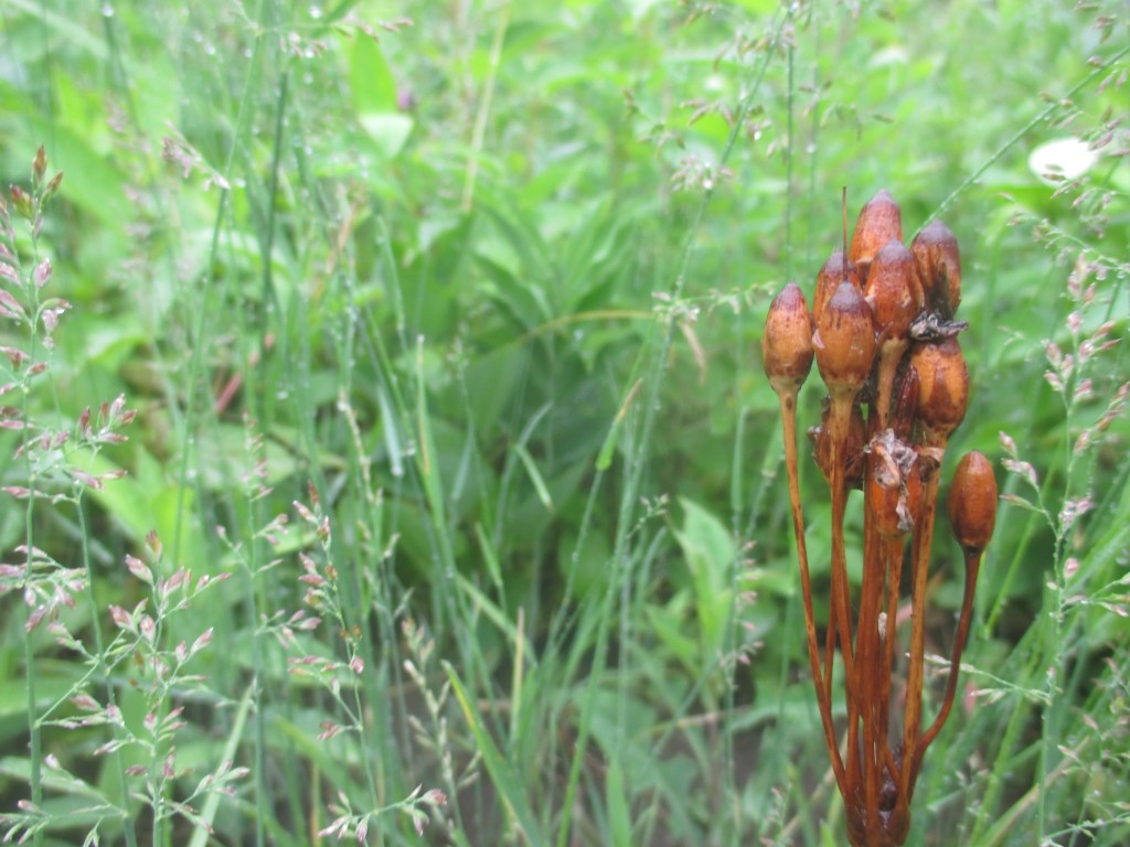
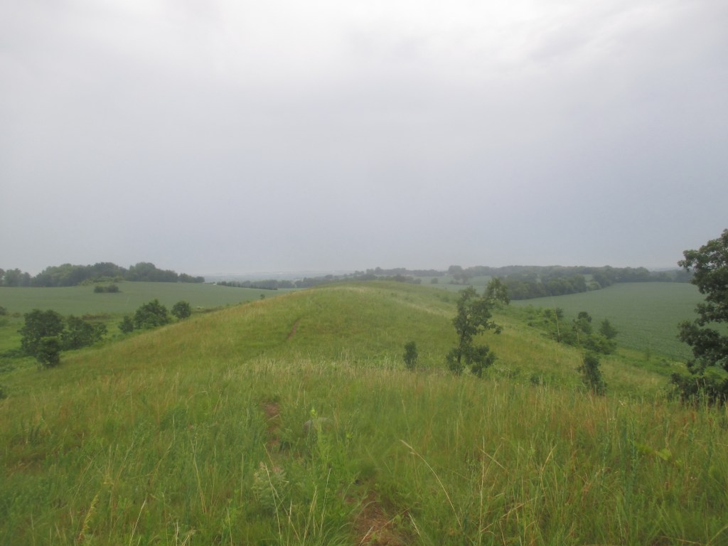
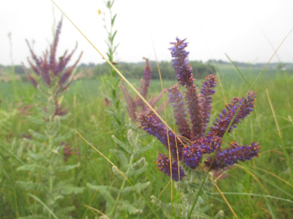
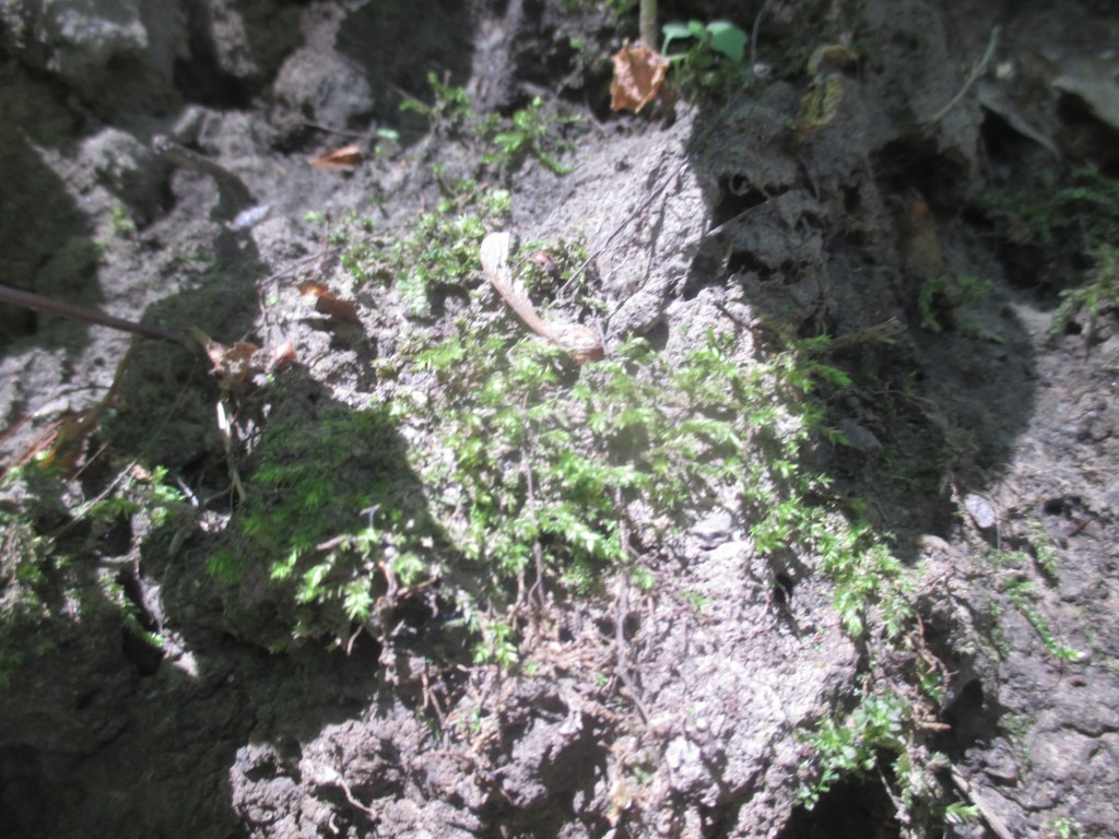
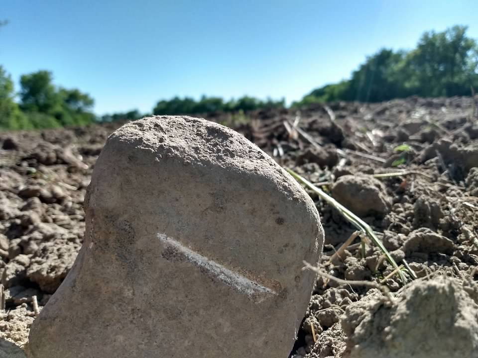
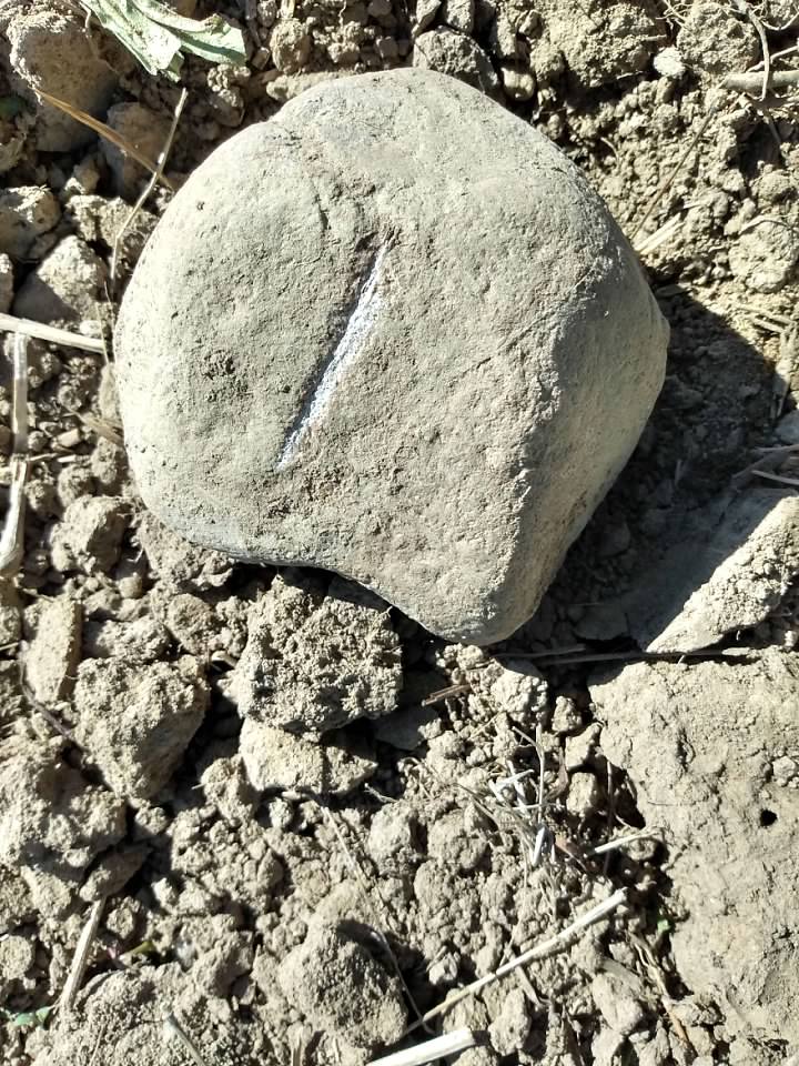
there are five remnant prairies left of the formerly massive empire prairie, which covered around 50,000 acres in wisconsin’s columbia and dane counties. the westport drumlin site is remarkable for the dramatic relief of the drumlin (a whale-shaped hill shaped by a glacier) caused by the surrounding corn-filled fields. also of particular note is the presence of an oak opening on one side, a fairly rare ecosystem these days. the rock outcroppings along parts of the drumlin indicate the glacier may not have sculpted this drumlin as extensively as normal.
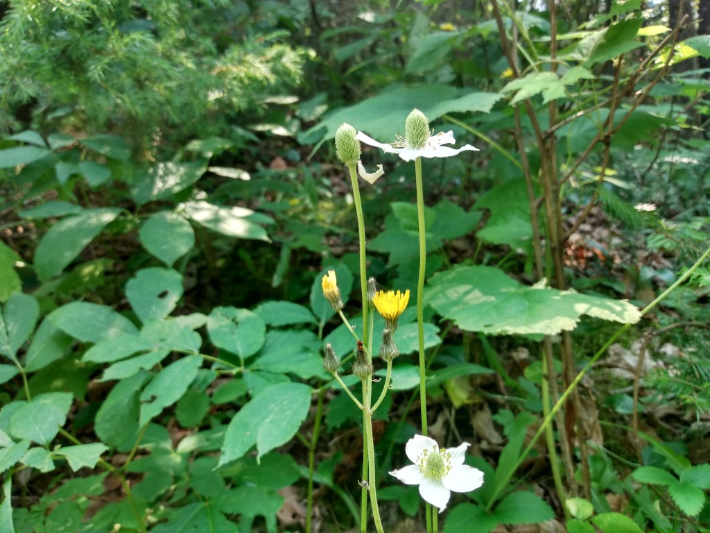
it was a very wet and very satisfying walk. we turned back once due to lightning, but then the rain let up and we changed course once again. after a walk along the bottom of the drumlin and into the oak opening (rain sounding great on the leaves), i trekked up to the ridge and had a look about the lowlands surrounding. a graceful time. also, first conscious encounters with leadplant, thimbleweed, and flowering spurge. the soundscape is flush with raindrops.
thanks to the wdnr and groundswell conservancy for protecting this site.
first off—thanks to everyone who keeps tuning in for these, and any new readers here for the first time. it’s fun knowing some folks out there enjoy seeing what i’m finding on the land. (or what’s finding me.)
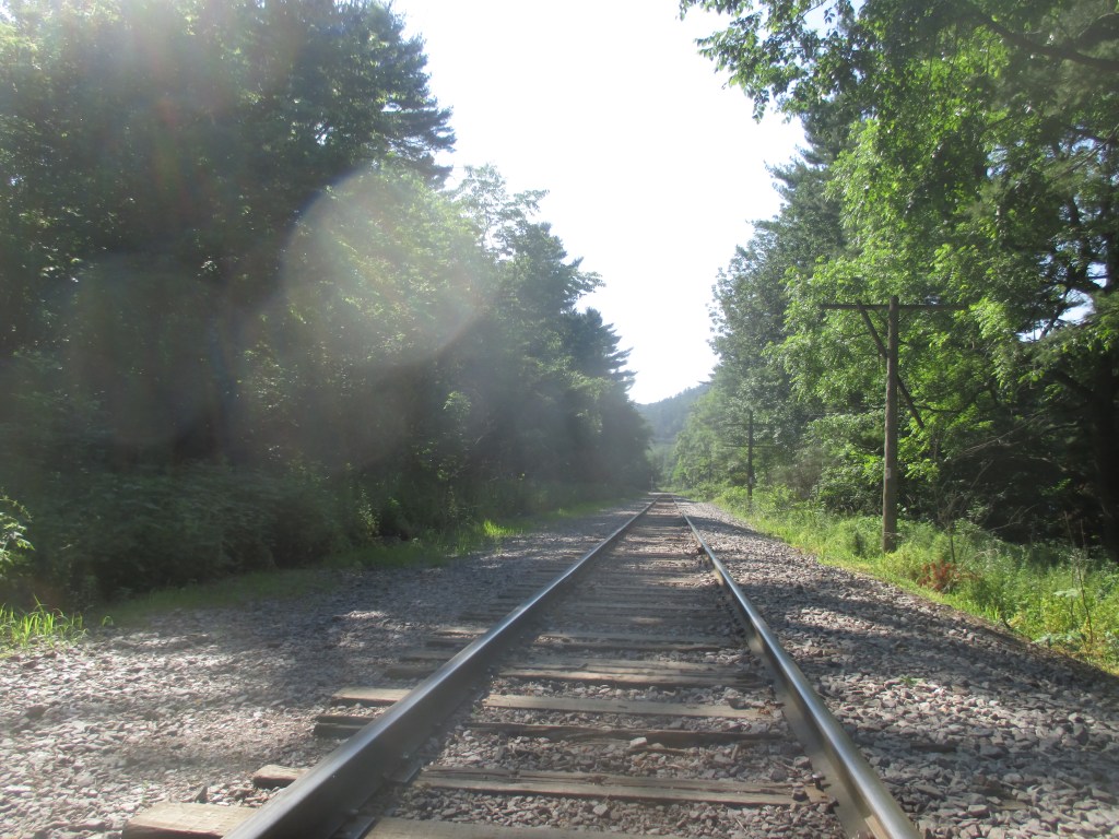
but yes: cherokee marsh is a portion of a larger wetland complex in the four lakes region of wisconsin. the northern portion (which we visited) is a fen, tho’ it has lots of flora characteristic of other kinds of wetlands. presumably in part b/c it’s got a railroad track running thru it…
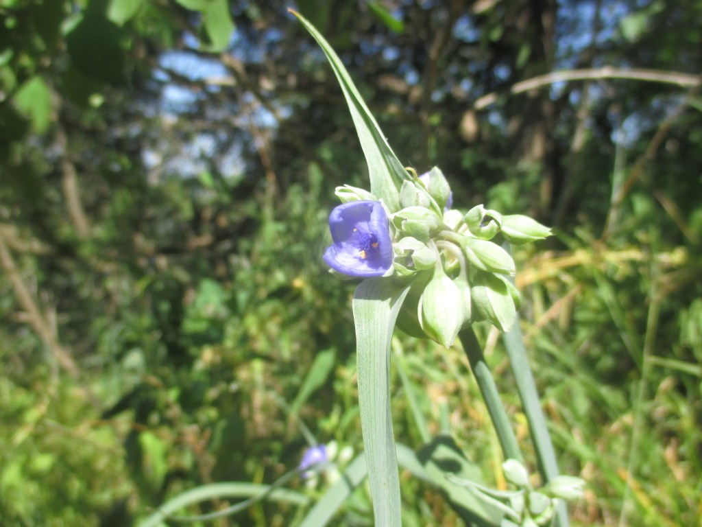
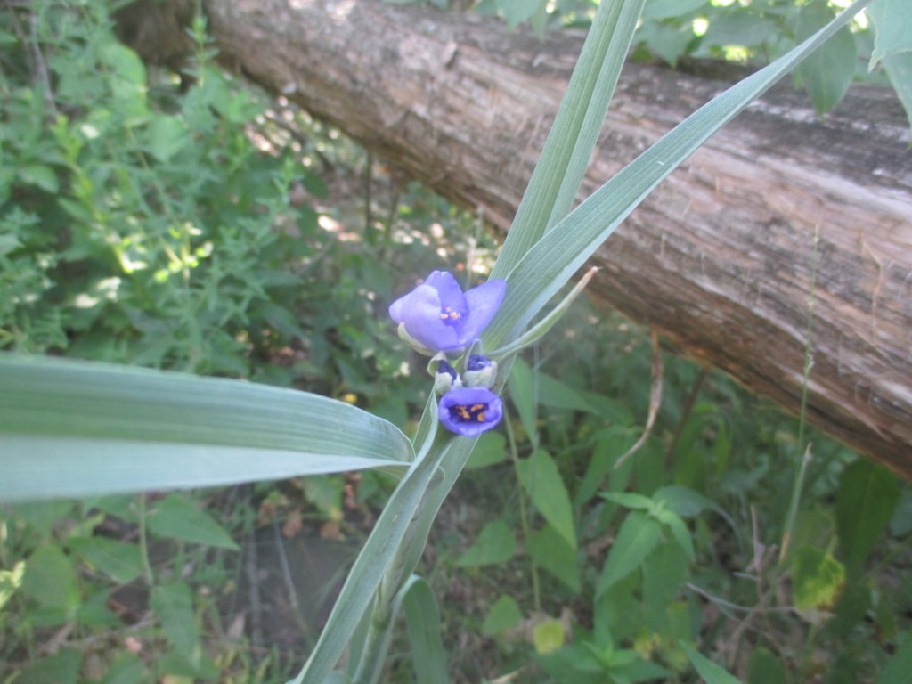
we had a good walk—lots of spiderwort, mullein, grasses, cattails, white campion, water, redwing blackbirds, sky. also, crushed baraboo quartzite underfoot as the railroad bed.
have a view and a read below, and listen to the found-sound-scape immediately below, courtesy once again of my brother. (lots of chittering birdsong, and that crunching you hear is homo sapiens footfall on crushed baraboo quartzite.)
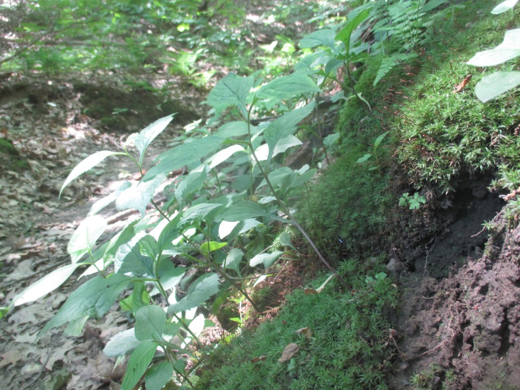
devil’s lake oak forest is a southern dry-mesic forest of red oak and red maple, with some older open-grown white oaks. all situated on terminal moraine that had likely blocked the gorge thru which the wisconsin river used to run and which now is the home of devil’s lake. the forest is flanked by devil’s lake access roads, which was different for a sna, but i’m glad it’s protected.
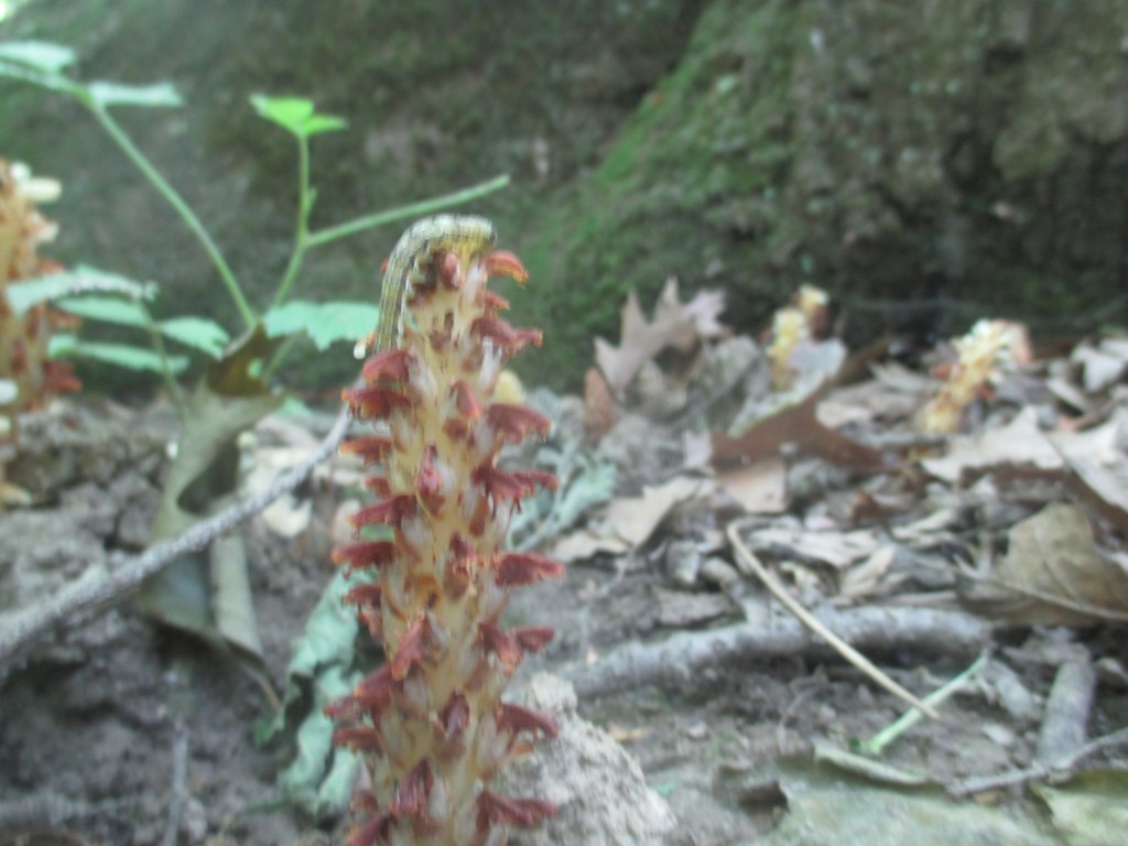
this was when the day started getting really hot, though the part of the forest that butts up against east bluff and the grottos trail was mercifully cool. the biggest discovery of the walk was american cancer-root (or bear cone), a chlorophyl-less plant that is parasitic on oak roots. very cool.
i’ll once again link to my brother’s “sna soundscape” from the last post (east bluff), as a couple of the field-recorded sounds were from this forest as well. (by the by, funny story: the long title of the audio track comes from the thwarted third hike of the day we attempted. the road into the last sna was closed, so we walked in, but then we saw that there were a large number of caterpillars hanging down from the canopy on silk threads, secreting some kind of white, frothy substance and clearly doing something important for their life cycles. we abruptly abandoned the hike after the realization that they were, in fact, all around us, though we had initially stopped because we saw only a few. it was strange.)
a.
moss fronds drape
the dry creek’s banks
cool in the grotto
b.
bear cone inflorescence
forcing the forest floor
root kissing root unseen
see the caterpillar?…this is the caterpillar road…
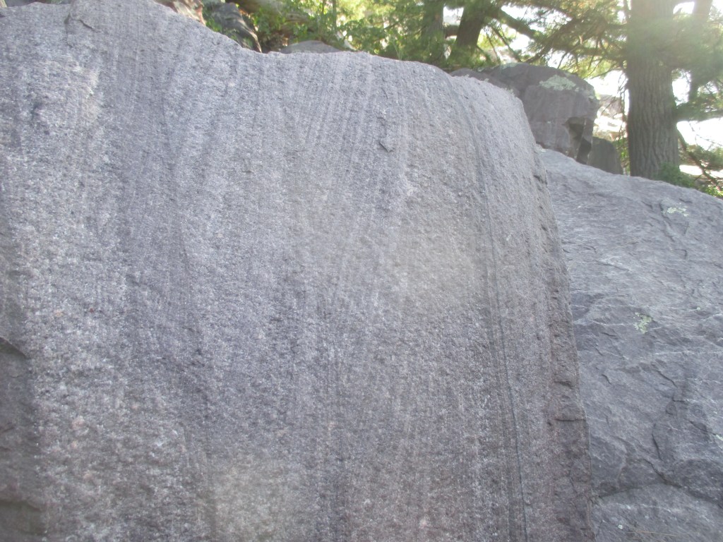
the east bluff that flanks devil’s lake is the monadnock of my dreams. i’ve been hiking it since i can remember, with my brother, parents, and grandparents, then friends, my wife, and my kids too. (by the by, a monadnock is a residual hill or mountain that has been buried by sediment but then unearthed by erosion and remains b/c it’s tougher than the other materials around it.) the baraboo hills, of which the east bluff is a part, formed almost 2 billion years ago, when the baraboo quartzite metamorphosed and then uplifted in this area of what would become wisconsin.
the east bluff offers spectacular views of devil’s lake, the surrounding valleys and bluffs, the johnstown terminal moraine, and the wisconsin river. in addition to its dramatic quartzite cliffs, outcroppings, and talus slopes, a prairie, pygmy forest, southern forest, and bedrock glades lie atop the bluff too. the alaskan grotto is a linear cavernous feature along the bottom of the south slope, and rounded “potholes” formed by rocks tumbling in moving water lie along one sheer trail. (that’s where i proposed to my wife.)
it’s always a treat and an honor to hike east bluff, but this was an especially fine walk/climb since it was the first time my brother and i have hiked there since the pandemic began. and, courtesy of my brother and spontaneous response to bird call, the “sna poems” will now have an occasional additional feature, the “sna soundscapes,” ambient tracks composed by him with found-sounds from the sna’s we visit. you can listen to this site’s soundscape—featuring bird calls, insect droning, and the sound of human hand on 1.7-billion-year-old quartzite—here. enjoy!
parfrey’s glen is a sandstone conglomerate gorge thru which runs the appropriately named parfrey’s glen creek. located on the south flank of the baraboo hills, a precambrian monadnock ring in southcentral wisconsin and one of my favorite places on earth. the glen, due to the cavernous shade and seeps of the walls, supports plant species usually found more northerly in wisconsin, as well as rare plant and insect species.
the end of the formerly well-groomed trail was destroyed by a flood several years back, but the sure-footed are still permitted to press on up the stream to a small waterfall and pool. the enveloping of stone and water is something else.
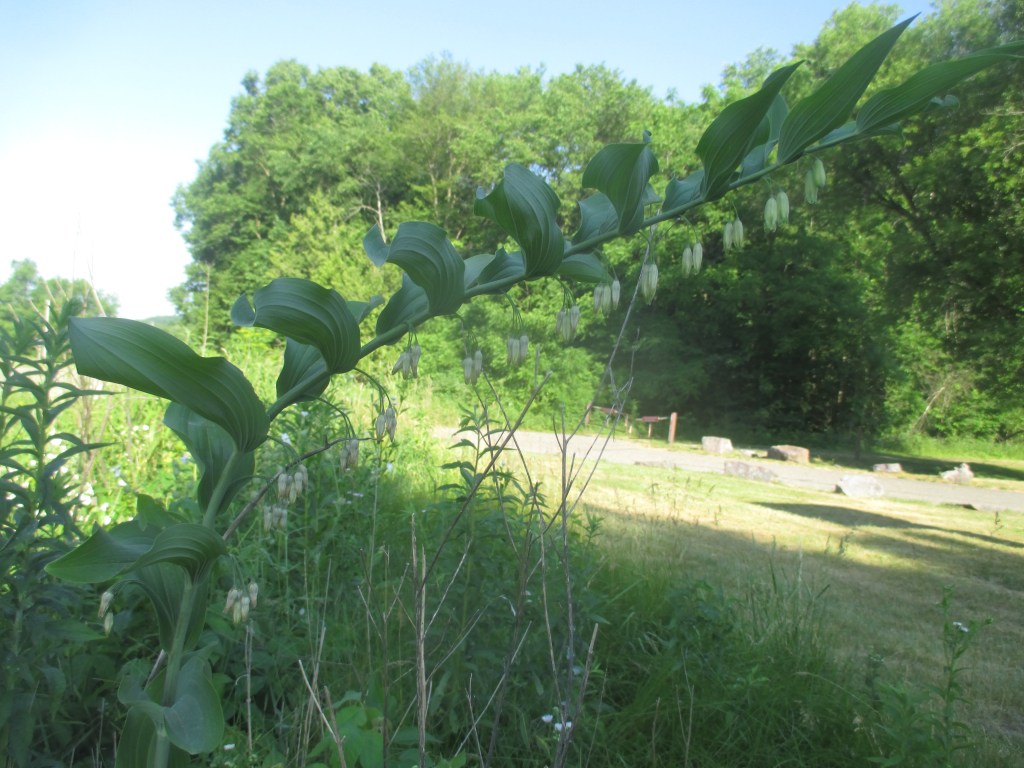
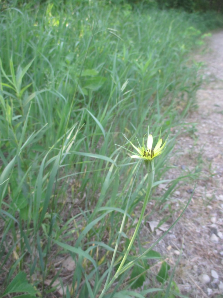
parfrey’s glen was also the first designated state natural area in wisconsin, so it felt even more relevant visiting this time, as this project has drawn on over the last year+. my first spottings of solomon’s seal, false solomon’s seal, and goat’s beard in the field to boot!
lost lake is a kettle-like depression in a ravine, surrounded by alder thicket and oak woods. my walk was mainly on the slope headed down into the thicket wetland area. once i got into the hollow i didn’t have the proper footwear to keep going into the muck, so i trekked back up the slope to some larger quartzite boulders along a rivulet to take in the woods a bit.
tho’ i’ve never lived in columbia or sauk counties, my grandparents used to live in sauk, so my childhood impressions of the natural world are very much caught up in the sights and smells of this area. right when i got out of the car and into the woods, the scents made a very welcome homecoming. an excellent early-morning start.
(b.n.: i was trying out a new hand-held camera on this trip, so some shots are blurrier than i wanted or color a bit off…the experiment goes on.)
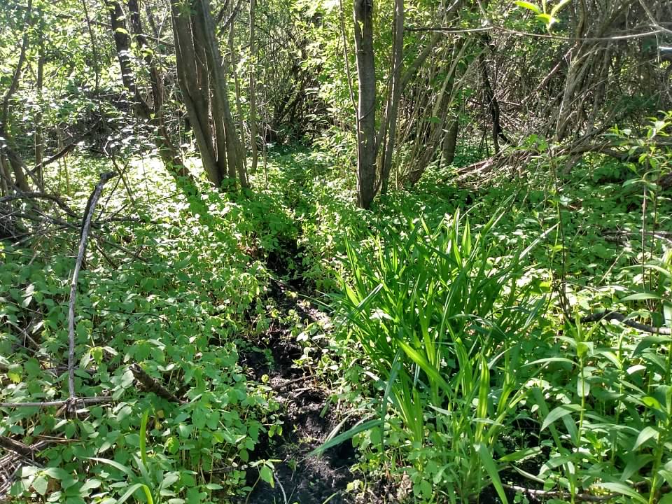
new munster bog island is sandy knoll of hardwoods surrounded by shrub-carr and tamarack bog. the kids were along for this one, and a couple did try to bushwhack with me, but that shrub-carr was tough, and we got turned back before we reached the knoll.
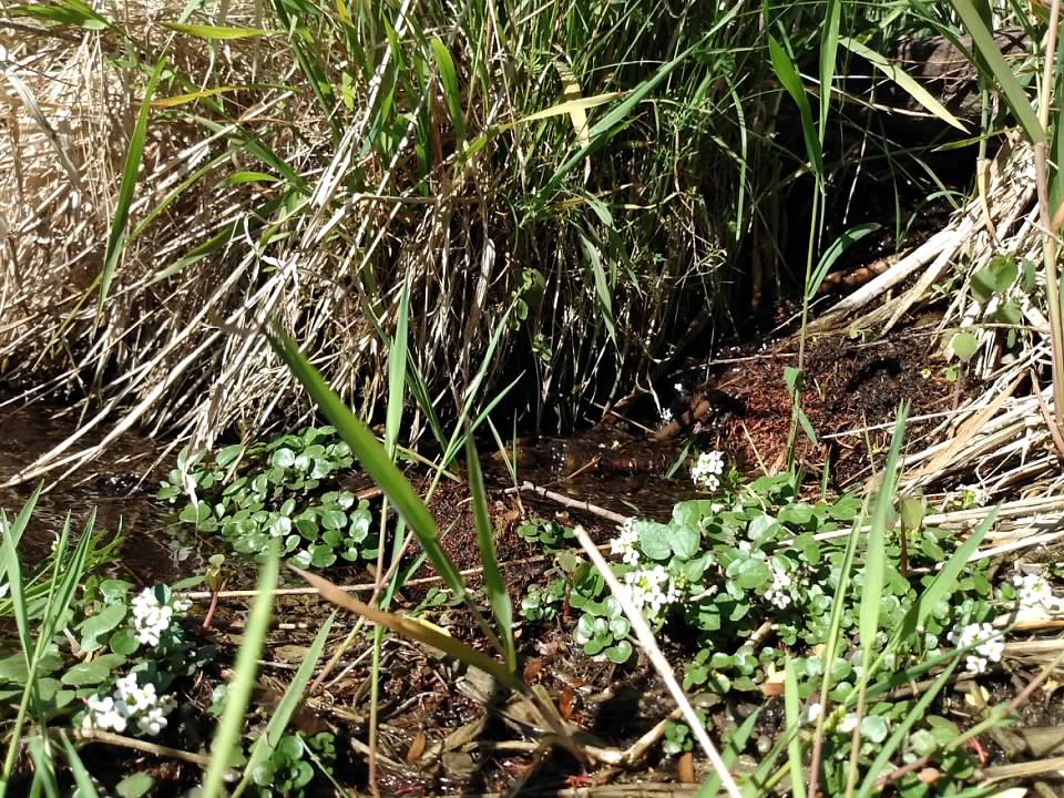
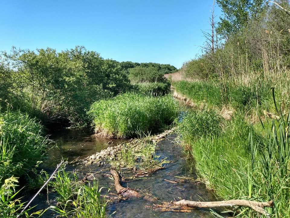
however, after some time crawling around in the mud and moss, we went back and enjoyed the habitat around and in palmer creek, which lies between the sna and the parking area. saw waxwings and herons, springs under bold spring skies. lovely.
i did find a patch of watercress (thanks to the wdnr and british poet geraldine clarckson for the i.d.), which was very pretty, but also a non-native that can choke out other plants in cold-water springs. and it was in a spring run. next time i’ll forage it, giving other plants some room and us some food direct from the earth.
texas island woods is a mature hardwood forest inhabiting an “island” upland surrounded by marsh and shrub swamp in jefferson county, wisconsin. access is via a causeway path, which i assume is man-made. this was my last hike of the day, and it had gotten really hot for the first time this year.
that wasn’t so bad, but the fact that the woods is surrounded by wetlands meant there was also a serious number of mosquitoes—while this is wisconsin and i should be prepared for them, it was early enough in the year that this was the first time i’d been swarmed. trying to take pictures, my hands were covered by 8-10 mosquitoes by the time i was able to close the (digital) shutter…
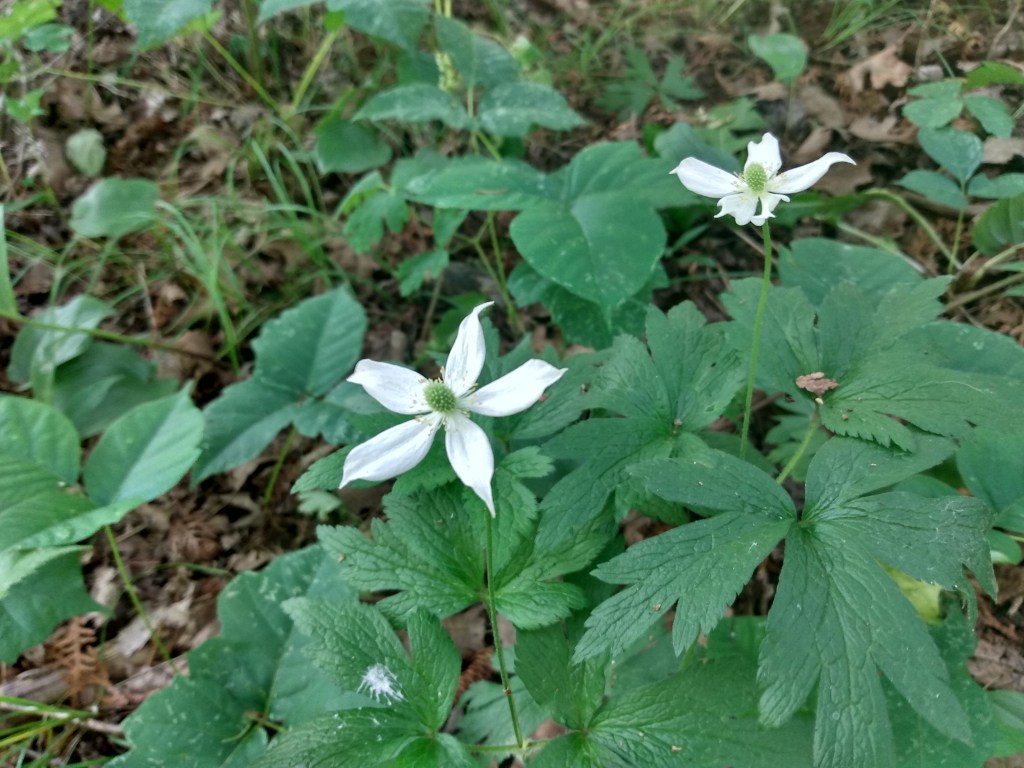
but a delightful wood with what appears to be a healthy under story, with lots of large-flowered trillium and mayapple. the highlight of the trip was getting close enough to the wood’s edge to see that it was in fact an “island” by the break in trees and water/marsh plants beyond (as above). this was the last sna to visit in jefferson county!